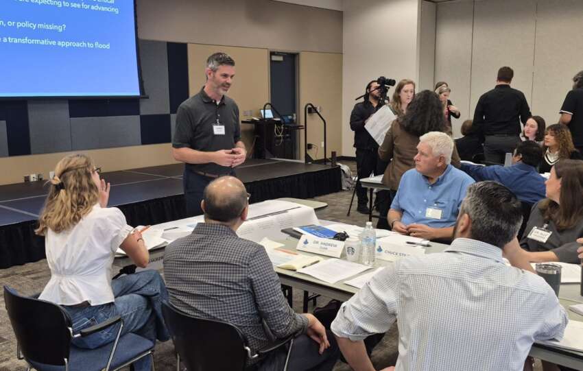
Last week, FEMA released draft floodplain mapping information to the 34 floodplain administrators in Harris County as part of the MAAPNext effort. MAAPNext is a FEMA-led initiative, supported by the Harris County Flood Control District to provide local expertise. These maps reflect changing conditions in Harris County, including a more than 30% increase in rainfall rates, updated topography and advanced modeling. These updates are…
The Harris County Flood Control District is working to reduce flood risks along the mid-reach stretch of Greens Bayou. The Greens Mid-Reach Program is a long-term multi-project initiative along Greens Bayou from Veterans Memorial Drive to JFK Boulevard. The program is intended to improve channel conveyance along Greens Bayou and provide stormwater storage capacity within…
Every day, the Harris County Flood Control District works to reduce flood risk for communities across Harris County. One important way we do that is by creating space for stormwater to go during heavy rain.
That’s exactly what the Yale Stormwater Detention Basin project is designed to do. It will improve stormwater management and help…
The Harris County Flood Control District recently completed important maintenance work along Bering Ditch in west Houston, within Harris County Precinct 3.
The Flood Control District is responsible for maintaining more than 2,500 miles of channels across the county and regularly inspects the channels and makes repairs when excessive wear or damage is identified.
For…
The warm weather that arrives this weekend will continue through Christmas.
For the Houston area, we are expecting temperatures to fall into the 60s on Christmas eve with some areas of fog possible overnight, especially near the coast. On Christmas day, low temperatures are expected to be in the lower to middle 60s, with high…
Strong partnerships are essential to building long-term resilience in Harris County. Through the Community Development Block Grant (CDBG) program, the Flood Control District can design and build projects that meaningfully reduce flood risk. These projects improve channel conveyance, create stormwater storage, and preserve floodplains that help mitigate flooding during major rain events.
Many communities with…
Near downtown Houston, Buffalo Bayou flows through a narrow corridor surrounded by buildings, bridges, trails, and parks. Just upstream, White Oak Bayou joins Buffalo Bayou at their confluence at Allen’s Landing. Because there is not enough open land for wide, sloped banks, the Harris County Flood Control District uses steel sheet pile walls to hold…
Across Harris County, some of the most important flood risk reduction work happens in places that look almost untouched. These natural areas include wetlands, stormwater detention basins with water quality features, projects with natural stable channel design elements, and diverse native plant areas teeming with life. This biodiversity provides habitats for a variety of ecosystems,…
This article continues our two-part series marking the one-year anniversary of Proposition A, the maintenance funding measure approved by voters in November 2024. In Part 1, we reviewed the major accomplishments achieved during Fiscal Year 2025. In Part 2, we look ahead to Fiscal Year 2026, explore what residents shared during the recent public meetings,…
The Flood That Built the Flood Control District
The Great Houston Flood of 1935 was the worst flood event in Houston’s history up to that time. An intense 42-hour period of rainfall occurred from December 6 through December 8. While the City of Houston received 5.5 inches of rain, areas to the northwest saw far…