
Share This Article
After temperatures climbed to 96 degrees this week, Harris County is preparing for a much different weather pattern as the first strong cold front of the fall moves through the region Friday.
The front is expected to arrive Friday morning, helping limit daytime temperatures before a stronger push of cold air moves into the area Friday night. Little to no rain is expected with the front as dry air settles across the region.
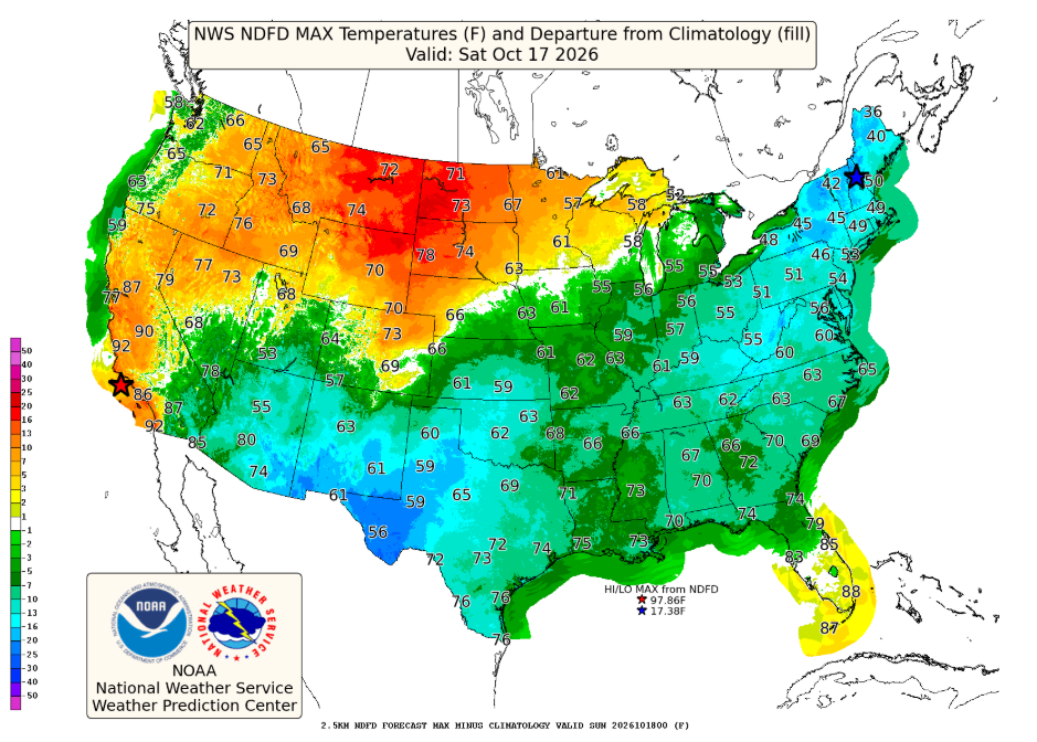
Behind the front, gusty northerly winds of 15 to 25 mph are expected Friday night. High temperatures Saturday could remain below 80 degrees across much of the area, with some forecasts showing temperatures struggling to get out of the 60s.
The coldest temperatures are expected Saturday night into Sunday morning, when lows could fall into the 40s and 50s across much of the region.

Dry Conditions Could Increase Fire Weather Concerns
While the cooler weather will provide a break from the recent heat, the combination of dry conditions, low humidity and gusty winds could create elevated fire weather concerns Saturday.
Ongoing drought conditions have left vegetation dry in parts of the region. Residents should use extra caution with outdoor activities that could create sparks or flames. As of September 17, 2026, and at the time of this writing, a burn ban remains in effect for unincorporated Harris County.
Weather insights provided by Jeff Lindner, Harris County Flood Control District Meteorologist.