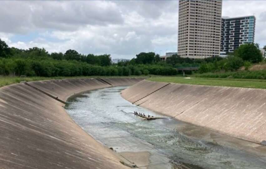
Construction activities include contractor mobilization, initial site preparation, and other related work. Construction crews will access the site at North Braeswood Boulevard near Frankway Drive.
About this Project
Phase 2 of the Meyergrove Stormwater Detention Basin Project adds a second wet-bottom compartment that is designed to provide approximately 8 acre-feet of additional stormwater storage capacity…

Soon you’ll start seeing construction crews at the Poor Farm Ditch site. This first phase, called mobilization, includes moving in equipment, preparing the site, and other setup work ahead of the actual construction.
The two access points for the project site are at Bellaire Boulevard and University Boulevard. Crews will mainly enter and exit near…
The Brays Bayou watershed stretches across some of Harris County’s most established and heavily traveled communities. Keeping its network of bayous and tributaries functioning requires continuous maintenance, from removing thousands of cubic yards of sediment to repairing erosion, replacing aging infrastructure, and rehabilitating channels.
Across the watershed, the Harris County Flood Control District is carrying…
Reconstruction will modernize 70-year-old channel and reduce flood risk in the Brays Bayou watershed
WHAT:
The Harris County Flood Control District, Harris County Precinct 1, and local, state, and federal partners will mark the start of construction on the $33 million Poor Farm Ditch Reconstruction Project, a major flood mitigation investment in the Brays Bayou…
Construction crews will access the site at Synott Road. Residents are urged to respect all warning signs.
About this Project
Phase 1 of the Keegans Bayou Stormwater Detention Basin near Old Richmond Road will construct a dry-bottom compartment that will provide approximately 400 acre-feet of stormwater storage — that is roughly the equivalent of 400 football…
Officials in West University Place recently received a briefing on potential updates to FEMA flood maps that could affect how flood risk is represented in the area. The presentation to the West University City Council focused on how updated rainfall data, improved terrain modeling, and completed flood risk reduction projects are influencing the next generation…
From past floods to future strength, our two-part series explores how Brays Bayou’s story is one of change, resilience, and community progress.
(Read Part 1: Brays Bayou Through the Years: A History of Changes)
In the mid-1980s, the U.S. Army Corps of Engineers conducted watershed studies examining Brays Bayou and surrounding watersheds. Their findings concluded…
From past floods to present progress, this two part series on Brays Bayou’s history highlights more than a century of change, resilience, and ongoing work to reduce flood risk for surrounding communities.
Brays Bayou begins near Mission Bend in northern Fort Bend County and flows east about 31 miles through southwest Harris County before joining…