Federally funded flood mitigation projects in Harris County are under review as upcoming funding deadlines approach. When major public investments and federal disaster recovery dollars are involved, residents deserve clear information about the projects meant to reduce flood risk in their communities.
The most important point: these projects are moving forward.
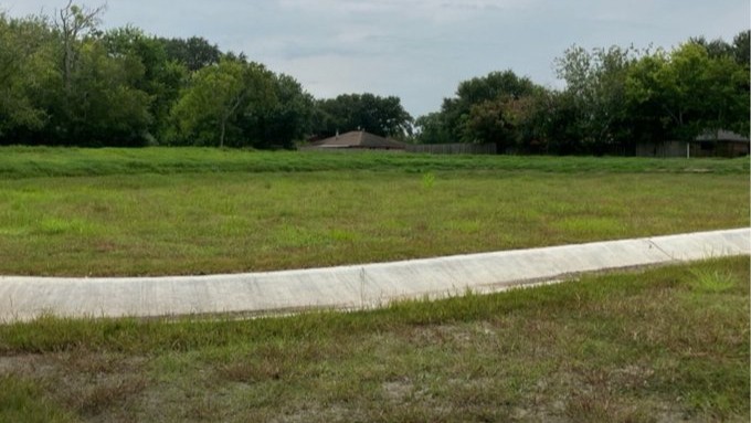
The Harris County Flood…